Our Activities
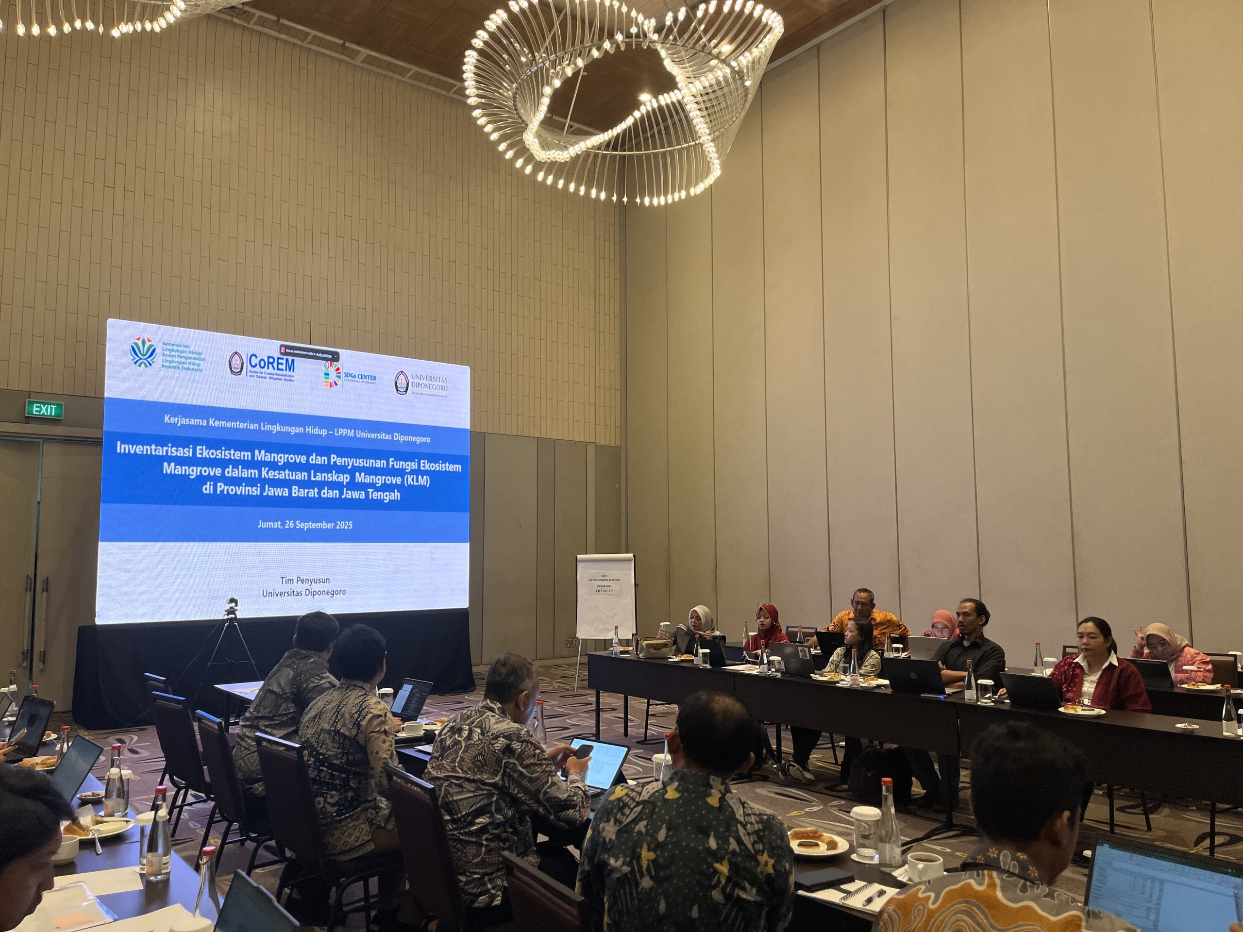
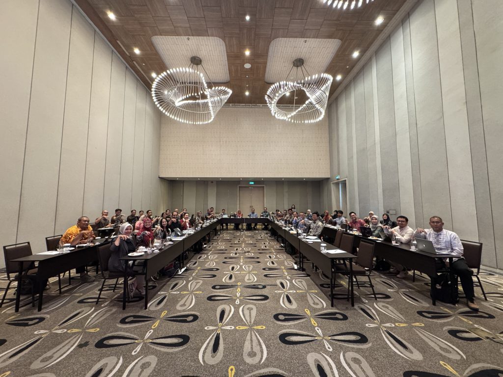
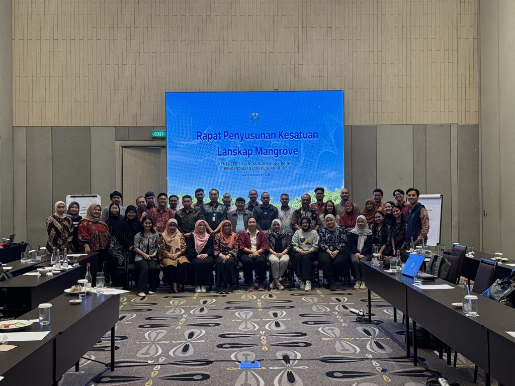
The Inventory of Mangrove Ecosystems and Formulation of Mangrove Ecosystem Functions within Mangrove Landscape Units (KLM) in West Java, Central Java, and D.I. Yogyakarta (2025) is a national research initiative aimed at providing scientific baseline data, ecosystem mapping, and comprehensive functional analyses of mangrove ecosystems to support sustainable coastal planning and management across key regions of southern Java’s northern coastline. This program represents a multi-institutional research collaboration between the Ministry of Environment / Environmental Control Agency, the Institute for Research and Community Service (LPPM) of Universitas Diponegoro, and the Sustainability Indonesia Foundation, working together to integrate biophysical assessment, scientific methodology, and socio-ecological approaches in managing Mangrove Landscape Units (KLM) across the three provinces.
The implementation of this program begins with a detailed inventory of mangrove ecosystems through field surveys conducted across West Java, Central Java, and D.I. Yogyakarta. Activities include species identification, measurement of stand structure, vegetation density assessment, evaluation of degradation levels, and characterization of coastal biophysical conditions. Field data are then integrated with spatial mapping using satellite imagery and Geographic Information Systems (GIS) to generate spatial information on mangrove distribution, current cover extent, and ecosystem dynamics over time. This mapping forms the foundation for delineating Mangrove Landscape Units (KLM), which serve as ecological analysis units and planning frameworks for coastal management.
Following the inventory, the program formulates mangrove ecosystem functions within each KLM, encompassing ecological functions (shoreline protection, blue carbon storage, habitat provision), economic functions (supporting fisheries, sustainable coastal resource potential, eco-tourism opportunities), and social functions (livelihood support, community protection, cultural values). This functional analysis is carried out through an integration of biophysical data, community social surveys, literature review, and ecological–landscape mapping, providing a holistic view of mangrove ecosystem functions across the three provinces.

Project Benifits
- Comprehensive Understanding of Mangrove Ecosystem Conditions
- High-Resolution Spatial Data for Strategic Planning
- Identification of Ecological, Economic, and Social Functions of Mangroves
- Prioritization of Rehabilitation and Protection Areas
- Strengthened Multi-Stakeholder Collaboration
- Scientific Recommendations to Support Sustainable Coastal Policy
The Output!
The final outputs of this program include mangrove ecosystem maps, KLM delineation maps, mangrove ecosystem function maps, and a comprehensive analytical report that can be utilized by local governments, national agencies, academic institutions, and other stakeholders for decision-making in mangrove rehabilitation, conservation, and sustainable landscape management in West Java, Central Java, and D.I. Yogyakarta. Through this multi-stakeholder research collaboration, mangrove landscape management across the three provinces is expected to become more adaptive, targeted, and aligned with sustainable development goals
Clients :
Kementerian Lingkungan Hidup/Badan Pengendalian Lingkungan Hidup
Category:
Research
Period:
2025

SDGs Goal Contribution